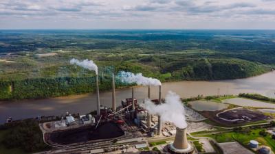
U.S. Land Use Dataset for Renewable and Non-Renewable Energy Production
This study developed the National Water Energy and Land Database (NWELD) to provide a high-resolution view of land use for each part of the life cycle of renewable and non-renewable energy production and transmission (including land use for water sources related to energy production). This is a significant improvement over previous datasets, which provided relatively vague land use/cover categories related to energy production. NWELD offers a means to explore regional heterogeneity in the land use efficiencies of energy technologies, as well as to create innovative land use plans that consider the effect of energy consumption, production, and resource extraction on local ecosystem integrity and habitat fragmentation.
NWELD is important because it is the first geospatially explicit depiction of the current state of land use for renewable and non-renewable technologies within the U.S. This research has the potential to help us better understand how we use our natural resources, particularly water and energy, and the impact of those choices on the environment. By collecting and integrating data from multiple sources, NWELD provides a valuable resource for researchers studying the interactions between water, energy, and land use in the United States. This dataset could be used to inform decisions about managing natural resources more sustainably, which could have a positive impact on the environment and our economy.
Understanding resource demands and tradeoffs among energy, water, and land socioeconomic sectors require an explicit consideration of spatial scale. However, the incorporation of land dynamics within the energy-water nexus has been limited due to inconsistent spatial units of observation from disparate data sources. In this paper, we describe the development of a National Water and Energy Land Dataset (NWELD) for the conterminous United States. NWELD is a 30-m, 86-layer rasterized dataset depicting the land use of mappable components of the United States energy sector life cycles (and related water used for energy), specifically the extraction, development, production, storage, distribution, and operation of eight renewable and non-renewable technologies: coal, hydropower, natural gas, oil, nuclear, biomass, wind, and solar. Through geospatial processing and programming, the final products are assembled using four different methodologies, each depending upon the nature and availability of raw data sources. NWELD is a dramatic improvement in understanding land use for energy production and transmission. Previous land use/cover rasterized datasets did not differentiate among these detailed uses.

