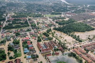
Investigating Compound Flood Risk for the Coastal United States
Compound floods (CF) can happen when different extreme events, like heavy rain and high storm surge, happen closely in time. This study investigated how often CFs occur along U.S. coastlines and what risks they pose to the residents. Using Earth System models simulating rivers and oceans, this work identified areas most at risk. Understanding these risks is vital for developing strategies to safeguard communities against future floods, particularly with ongoing climate changes. This knowledge helps in planning and improving defenses against these semi-unpredictable natural disasters.
The research presented in this article significantly enhances the ability to predict and prepare for compound flood events along the U.S. coastline. It introduces a holistic approach for CF risk assessment by integrating a large-scale river and a global ocean model, offering a more detailed analysis of risks in both individual and combined flood events. This innovative method also provides a more accurate risk assessment considering both flood frequency and severity. The framework developed by this study was also able to evaluate CF risk that extended hundreds of kilometers upstream, which is of particular importance for low-lying watersheds. Typically, flood risk assessments have been limited to the land-ocean interface. This work marks a first-of-its-kind comprehensive model in this field, allowing for more targeted and effective mitigation efforts.
The study provides an advanced framework for assessing the risks of compound floods, which occur when high river discharge coincides with severe storm surges. By analyzing the interaction between these two flood drivers, this research identified regions along the U.S. coastline that are most susceptible to these combined threats. This approach is particularly valuable for understanding the complexities of flood risks in coastal zones, which are influenced by both inland water flow and oceanic conditions.
The new framework developed in this study allows for a detailed evaluation of the coastal backwater effects on river basins. It also generates spatially distributed data to better analyze hazard potential using statistical models. This holistic approach is significant because it goes beyond traditional single-factor analysis, incorporating the interaction of multiple drivers of flooding to predict potential compound events with higher accuracy. Such comprehensive risk assessments are crucial for effective planning and response strategies, helping to mitigate the impacts of these compound flooding events, which are expected to increase in frequency and intensity due to climate change.

