20) Using E3SM to Quantify Marine Resources in High-Latitude Seas
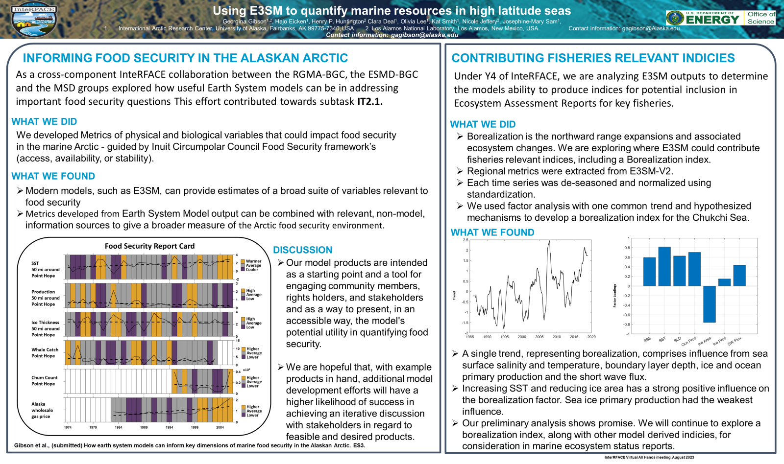
 As a cross-component InteRFACE collaboration between the RGMA-BGC, the ESMD-BGC, and the MSD groups explored how useful Earth System models can be in addressing important food security questions. We have demonstrated how metrics developed from Earth System Model output can be combined with relevant, non-model, information sources to give a broader measure of the Arctic food security environment. Subsequently, our analysis of E3SM outputs is focusing on the model's ability to produce indices for potential inclusion in NOAA’s Ecosystem Assessment Reports for key fisheries. This analysis will include developing a borelization index that summarizes ecosystem changes associated with northward range expansions.
